- Research
- Quicksearch
- Search Library Catalog (Orbis)
- Search Law Library Catalog (MORRIS)
- Search Borrow Direct
- Search WorldCat
- Search Articles+
- Search Digital Collections
- Search Archives at Yale
- Subject Guides
- Find Databases by Title
- Find eJournals by Title
- Overdrive Audio Books & eBooks
- Guide to Using Special Collections
- Services
- Libraries & Collections
- Arts Library
- Bass Library
- Beinecke Library
- Center for Science & Social Science Information
- Classics Library
- Divinity Library
- Fortunoff Archive
- International Collections
- Law Library
- Lewis Walpole Library
- Manuscripts & Archives
- Map Collection
- Medical Library
- Music Library
- Sterling Library
- Yale Center for British Art
- Information & Policies
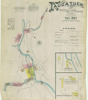
Connecticut Sanborn Fire Insurance Maps
Over 6,500 maps in 470 atlases for Connecticut towns ranging from 1880 to 1970 at 1:600 scale. These highly detailed maps provide building, outbuilding, and property footprints, labeled streets, addresses, and information about building materials and construction features for urban and residential areas of Connecticut.

